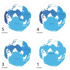
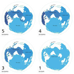
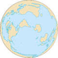
Bestand:World ocean map.gif
World_ocean_map.gif (500 × 500 pixels, bestandsgrootte: 68 kB, MIME-type: image/gif, herhalend, 4 frames, 10 s)
Bestandsgeschiedenis
Klik op een datum/tijd om het bestand te zien zoals het destijds was.
| Datum/tijd | Miniatuur | Afmetingen | Gebruiker | Opmerking | |
|---|---|---|---|---|---|
| huidige versie | 8 apr 2007 06:12 |  | 500 × 500 (68 kB) | Quizatz Haderach | Animated world ocean map! |
Bestandsgebruik
Dit bestand wordt op de volgende pagina gebruikt:
Globaal bestandsgebruik
De volgende andere wiki's gebruiken dit bestand:
- Gebruikt op ab.wikipedia.org
- Gebruikt op am.wikipedia.org
- Gebruikt op ang.wikipedia.org
- Gebruikt op arc.wikipedia.org
- Gebruikt op ar.wikipedia.org
- Gebruikt op as.wikipedia.org
- Gebruikt op ban.wikipedia.org
- Gebruikt op ba.wikipedia.org
- Gebruikt op bcl.wikipedia.org
- Gebruikt op bg.wikipedia.org
- Gebruikt op bi.wikipedia.org
- Gebruikt op bjn.wikipedia.org
- Gebruikt op blk.wikipedia.org
- Gebruikt op bn.wikipedia.org
- Gebruikt op br.wikipedia.org
- Gebruikt op bs.wikipedia.org
- Gebruikt op bxr.wikipedia.org
- Gebruikt op ca.wikipedia.org
- Gebruikt op ce.wikipedia.org
- Gebruikt op ch.wikipedia.org
- Gebruikt op crh.wikipedia.org
- Gebruikt op da.wikipedia.org
- Gebruikt op de.wiktionary.org
- Gebruikt op diq.wikipedia.org
- Gebruikt op el.wikipedia.org
- Gebruikt op en.wikipedia.org
Globaal gebruik van dit bestand bekijken.


