
Bestand:Administrative map of Italy showing regions, provinces and communes.png

Grootte van deze voorvertoning: 463 × 599 pixels. Andere resoluties: 185 × 240 pixels | 371 × 480 pixels | 593 × 768 pixels | 791 × 1.024 pixels | 1.632 × 2.112 pixels.
Oorspronkelijk bestand (1.632 × 2.112 pixels, bestandsgrootte: 198 kB, MIME-type: image/png)
Beschrijving
| Beschrijving |
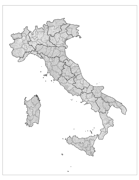
English: Administrative map of Italy showing the regions (black borders), the provinces (grey borders), and the communes (white borders). |
||
| Datum | |||
| Bron | Own work using: MapInfo Professional v8.5 (and various mapping resources) | ||
| Auteur | Rarelibra | ||
| Toestemming (Hergebruik van dit bestand) |
|
||
| Andere versies |
Afgeleide werken van dit bestand: |

|
Bestand:Regions, provinces and municipalities in Italy.svg is een vectorversie van dit bestand. Indien niet van slechtere kwaliteit dient deze gebruikt te worden in plaats van deze rasterafbeelding.
File:Administrative map of Italy showing regions, provinces and communes.png → File:Regions, provinces and municipalities in Italy.svg
Zie Help:SVG voor meer informatie. |
 |
Bestandsgeschiedenis
Klik op een datum/tijd om het bestand te zien zoals het destijds was.
| Datum/tijd | Miniatuur | Afmetingen | Gebruiker | Opmerking | |
|---|---|---|---|---|---|
| huidige versie | 29 nov 2007 16:25 | | 1.632 × 2.112 (198 kB) | Rarelibra | updated map - better borders, total conflation, and new color schema |
| 6 jan 2007 00:27 |  | 816 × 1.056 (57 kB) | Rarelibra | Map of the municipalities of Italy. Created by ~~~~ for public domain use, using MapInfo Professional v8.5 and various mapping resources. |
Bestandsgebruik
Dit bestand wordt op de volgende pagina gebruikt:
Globaal bestandsgebruik
De volgende andere wiki's gebruiken dit bestand:
- Gebruikt op ar.wikipedia.org
- Gebruikt op arz.wikipedia.org
- Gebruikt op be.wikipedia.org
- Gebruikt op cy.wikipedia.org
- Gebruikt op fa.wikipedia.org
- Gebruikt op fi.wikipedia.org
- Gebruikt op fr.wikipedia.org
- Gebruikt op hi.wikipedia.org
- Gebruikt op hy.wikipedia.org
- Gebruikt op ia.wikipedia.org
- Gebruikt op kk.wikipedia.org
- Gebruikt op ko.wikipedia.org
- Gebruikt op mk.wikipedia.org
- Gebruikt op ro.wikipedia.org
- Gebruikt op ru.wikipedia.org
- Gebruikt op sv.wikipedia.org
- Gebruikt op tg.wikipedia.org
- Gebruikt op uz.wikipedia.org
- Gebruikt op www.wikidata.org
- Gebruikt op zh-min-nan.wikipedia.org
- Gebruikt op zh.wikipedia.org